
History
The District was created by Order of the Texas Water Rights Commission (now the Texas Commission on Environmental Quality “TCEQ”) in 1972 and operates pursuant to Chapters 49 and 54 of the Texas Water Code.
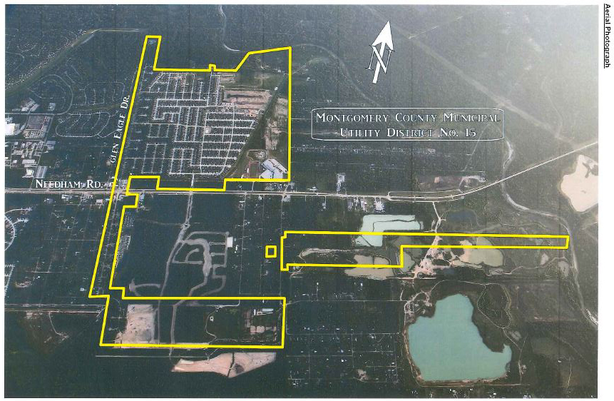
The District contains approximately 831 acres of land and is located in southern Montgomery County, approximately 32 miles north, northwest of the Houston central business district. More specifically, the District is located approximately one mile to the east of I-45 and seven miles south of the City of Conroe.
State Highway 242 runs through the middle of the District in an east-west direction. A portion of the District fronts on the West Fork of the San Jacinto River to the northeast; Whispering Oaks subdivision and Needham Road is located to the north of the District; the northern half of District is bounded by the Needham Road on the east; the southern half of the district is bounded by Harpers Preserve to the east; vacant land lies to the south; the Huntington Estates lies to the southeast; and Tall Timbers and The Woodlands Township bounds the west.
The District is located within the extraterritorial jurisdiction of the City of Conroe.
As of January 1, 2018, there are approximately 2,000 completed homes or homes under construction and approximately 166 vacant developed lots located within the District that are available to be built upon. Commercial development in the District consisted of a service station, a fast food restaurant, and an automotive transmission establishment.
District Map
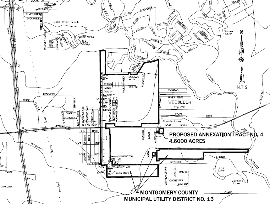
DISTRICT VICINITY MAPS
(Click on maps for details)